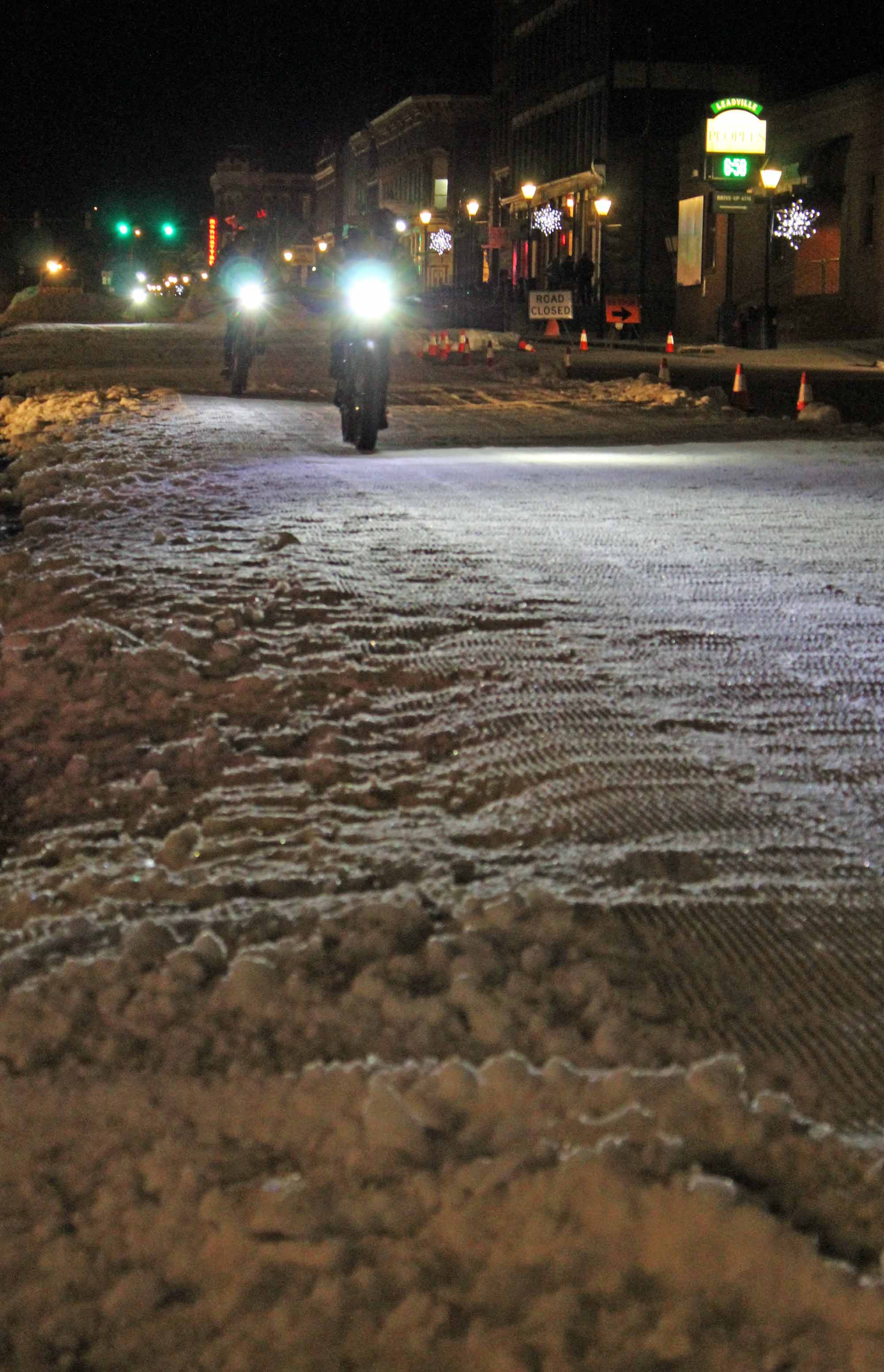
Mineral Belt Trail – Groomed Winter Trail
 Trail Name: Mineral Belt Trail
Distance: Loop of 11.6 miles, with numerous access points
Elevation Gain: 9,900′ – 10,600′
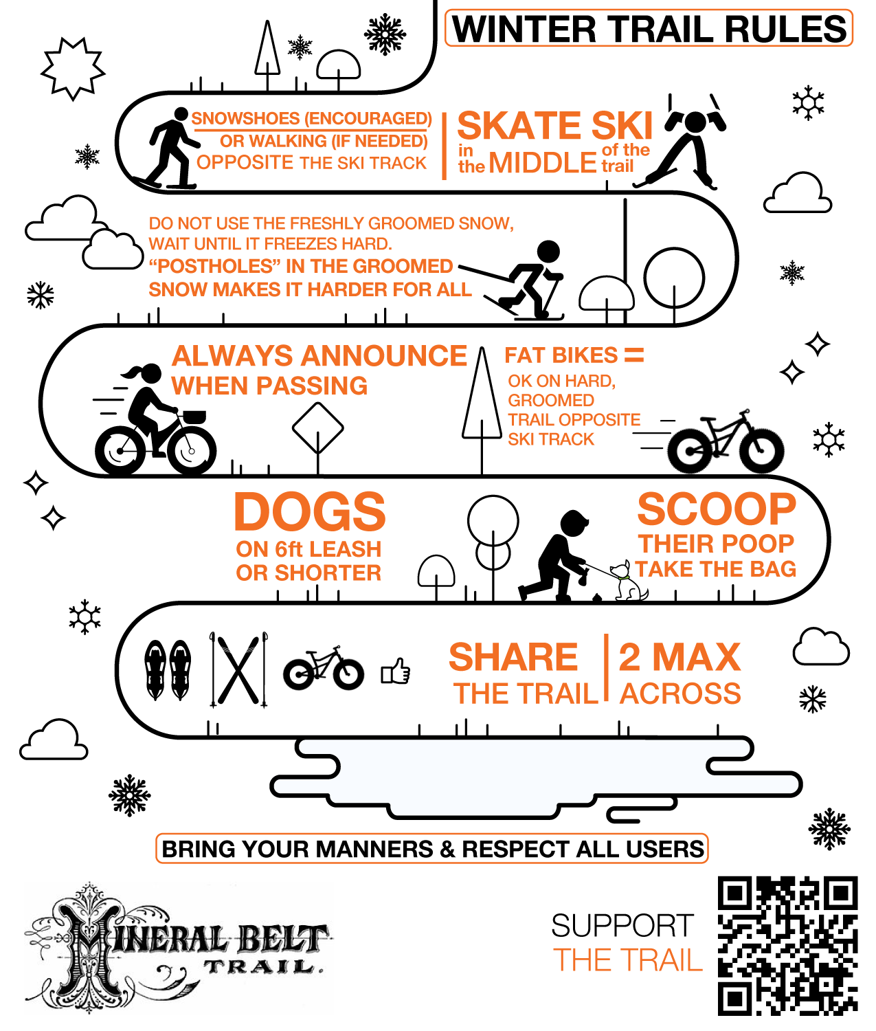
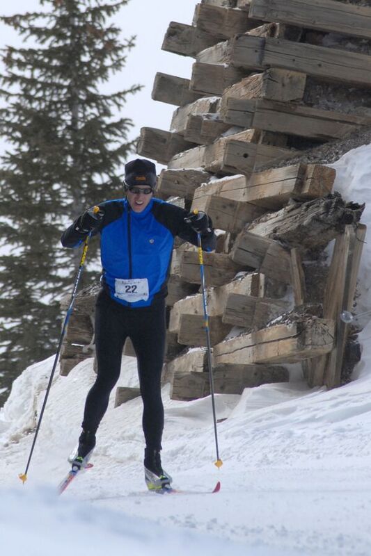
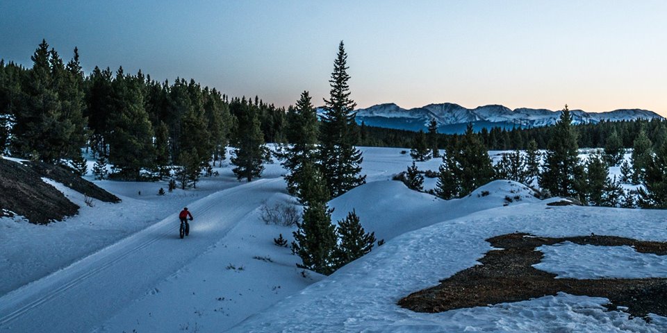
Activities: Non-motorized: Nordic ski, skate ski, snowshoe, fat bike, walk
Difficulty Rating: Blue
Equipment: Rent equipment in downtown Leadville
Cost: Free
*
Conditions: See the latest grooming report.
TRAIL MAP
Why It’s a Gem
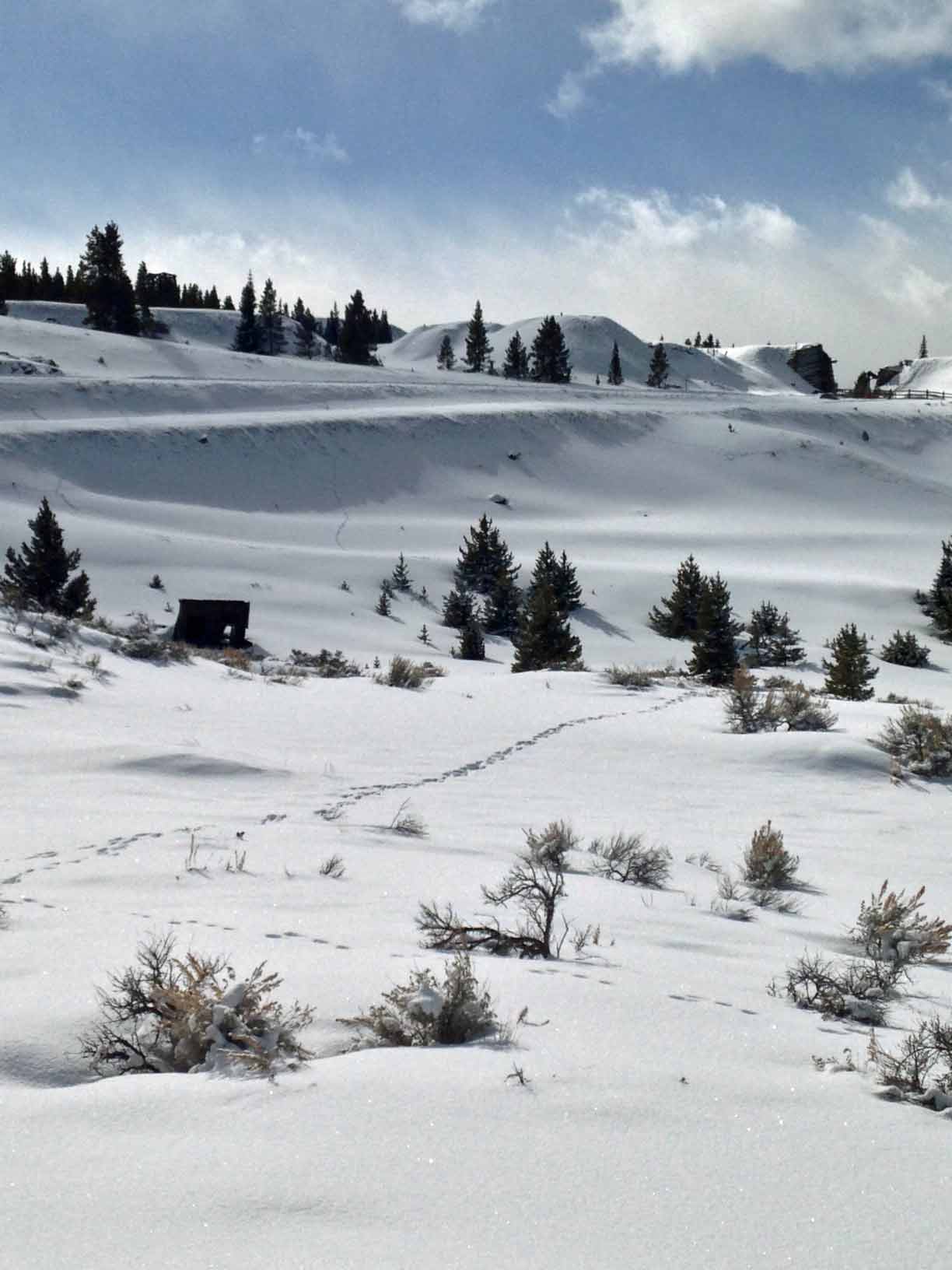
This trail loops the city of Leadville, traveling aspen groves, conifer forests, wildflower meadows, open vista sage parks. It offers unsurpassed views of the Sawatch and Mosquito ranges.
Approximately six miles meander through the historic Leadville Mining District. Interpretive signs give you a sense of Leadville’s rugged mining history—and the chance to stop and catch your breath! You’ll have the rare chance to roll or glide right by original mining structures from as far back as the 1880s. Imagine seeing Silver Rush headframes, cribbing, and tailing piles rising above the snow!
This multi-use trail welcomes Nordic and skate skiers, snowshoers, fat tire bikers, and walkers. Trailhead signs and the trail map show which part of the groomed track to travel to find the best surface for you. Need a place to sit for a while or to step out of a chilly breeze? Shelters are located after mile markers 3, 5, 7, and 10 (see the trail map).
Please note—Hazards may exist off trail: Please stay on the trail. Historic structures are dangerous. Open mine shafts exist in the adjacent private land and may be hidden by snow.
The History
The Mineral Belt Trail crosses through California Gulch, where settlers first struck gold and founded Oro City, the area’s first big-and-booming settlement, in 1860. Using parts of three former railroad grades, the trail also cuts through the heart of the mineral belt that earned Leadville the name Colorado’s Silver City, past historic mining structures backdropped by Colorado’s highest peaks. There, you’ll sense the pioneering spirit of the rugged men and women who endured unbelievable hardships to scrape a living from this harsh alpine environment. Their grit and tenacity carved the City of Leadville from the inhospitable landscape above 10,000’.
Interpretive signs along the trail introduce you to some of these characters. You’ll learn the rags to riches stories of Horace and Baby Doe Tabor, Meyer Guggenheim, Charles Boettcher, and David May. You’ll discover the heroism of Father John Dyer (Colorado’s “Snowshoe Itinerant” who often crossed these peaks on wooden skis to bring mail and salvation to Leadville) and of the Unsinkable Molly Brown of Titanic fame. And you’ll learn how pioneers built “Cloud City,” whose ornate Victorian architecture once housed the entrepreneurs, gamblers, miners, outlaws, and ladies of the evening of Colorado lore.
Remember to come back in the summer and walk, run, or bike this trail again. In warm weather, the entire length is ADA accessible.
A Story of Transformation
In 1994, after the cleanup of the California Gulch Superfund Site, the community decided to build this trail to showcase and preserve the area’s unique mining heritage. The trail’s layout, connecting key parts of Leadville, also was designed to provide a lasting benefit to the community and its visitors.
Today, the Mineral Belt Trail is just one of many trails—along with the Arkansas River, now Gold Medal Trout Waters—that make Leadville a clean, beautiful mecca of outdoor recreation. Travel the trail, and you’ll be part of this incredible story of transformation!
Directions
The trail loops Leadville, crossing Harrison Avenue just north of town at 12th St. and crossing Hwy. 24 south of town, just south of the intersection with McWethy, and crossing multiple smaller streets. Several parking lots are available.
Parking
4 free parking lots (marked with P on Mineral Belt Trail Map):
> Hwy. 24, just south of the intersection with McWethy.
> Lake County Middle School, 1000 W. 6th St.
> East 7th Street, east of town on the right just past the Matchless Mine and under the trail bridge.
> East 5th Street, east of town on the left just before the trail bridge.
Perks
If you’re a skier, join us for the Leadville Loppet Nordic Ski Race, held each February! This annual fundraiser for the Mineral Belt Trail offers 10k, 22k, and 44k races on this storied trail, with a 5k costume party/fun race and a 1k fun race for kids. You’ll also get the chance to win awards and qualify for the American Birkebeiner—plus world-famous blueberry soup.
The Mineral Belt Trail is very close to downtown Leadville, with easy access to your choice of eateries and pubs for warming food and drink.