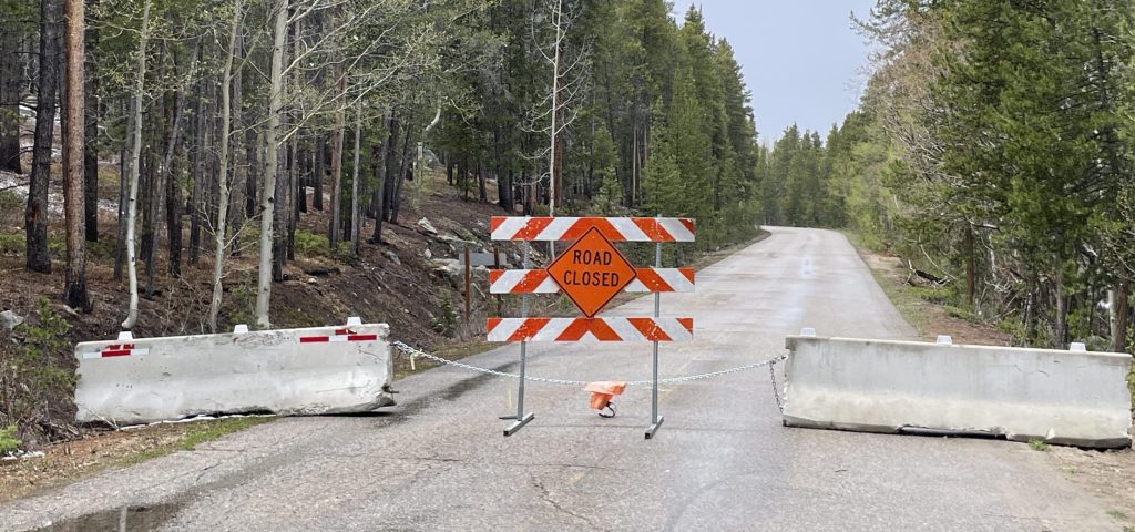
SUMMER 2026 – TURQUOISE LAKE ROAD HAS A PARTIAL CLOSURE ON COUNTY ROAD 4 BETWEEN ABE LEE FISHING SITE AND HAGERMAN PASS ROAD
Closure begins approximately 1 mile from the dam after the entrance to Abe Lee Fishing Site and continues to Hagerman Pass Road.
- Access to dam and Abe Lee Fishing Site use County Road 4 (go across the dam)
- Access to all campgrounds, Matchless Boat Ramp, Hagerman Pass, Timberline Lake Trailhead, Colorado Midland (Hagerman Tunnel) Trailhead, Winsor Lake Trailhead, Native Lake Trailhead and Colorado/CDT Trail Access use County Road 9/9C (turn right ahead of the dam)
Distance: Approximately 14 miles
Sports: Cycling, fat biking, mountain biking, Nordic skiing, snowshoeing, snowmobiling
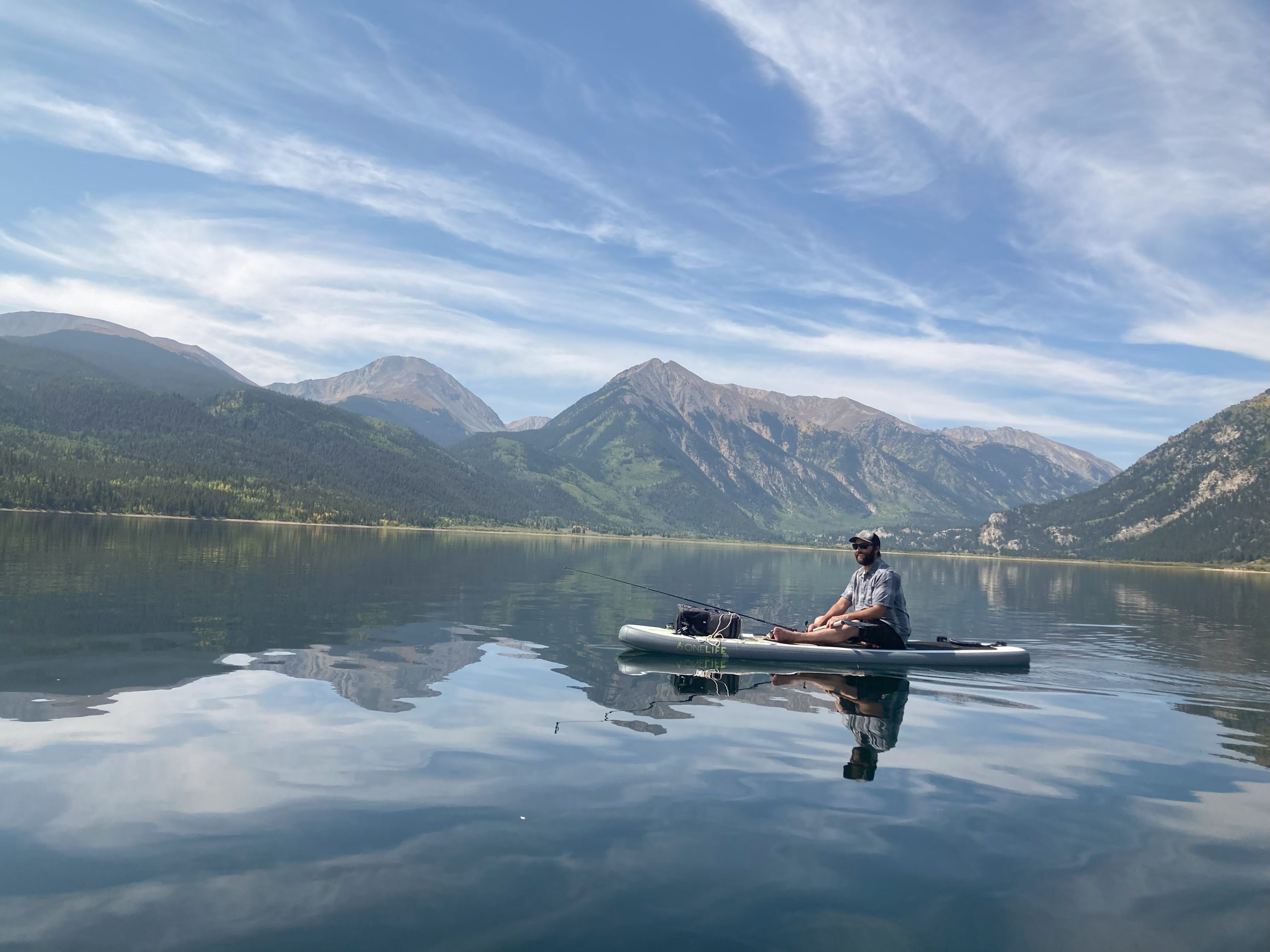
The peaceful paved road around Turquoise Lake leads through pine forests and open areas looking out to high peaks in the Mosquito Range, Mt. Elbert and Mt. Massive, and the Upper Arkansas River Valley. Wind through its turns to access campgrounds and picnic areas, or ride around it by bike for a scenic workout. When the snow flies, it’s groomed for winter sports. The High Riders Snowmobile Club posts when they groom Turquoise Lake.
Like to mountain bike? At the dam and the May Queen Campground, the road connects to a singletrack that lets you loop back by trail.
The Turquoise Lake Road makes a loop that connects County Roads 9C, 9, and 4. Parking is available at the dam, on County Road 4 just past the intersection with 9C, or at the many campgrounds and pull offs along the way.