From Harrison Avenue drive up East 7th Street it will change from paved to gravel road becoming County Road 3. Parking is approximately 4 miles from Harrison Avenue where the street snow plowing stops at Silver Spoon Trailhead
Please do not block County Road 3, so that snowmobiles and grooming machines can get through.
From Harrison Ave. in downtown Leadville, follow 7th Street (same as County Road 3) east about 4 miles. Park where plowing ends. There is a small lot and room on the sides of the road. Please do not block County Road 3, so that snowmobiles and grooming machines can get through.
From the parking area, head south on County Road 3, continuing south on County Road 3B at the first intersection.
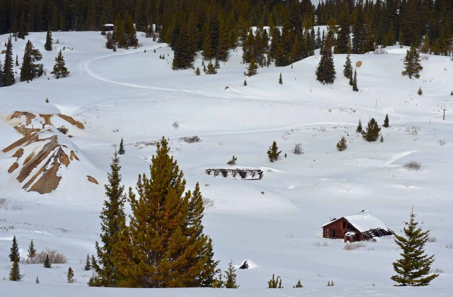
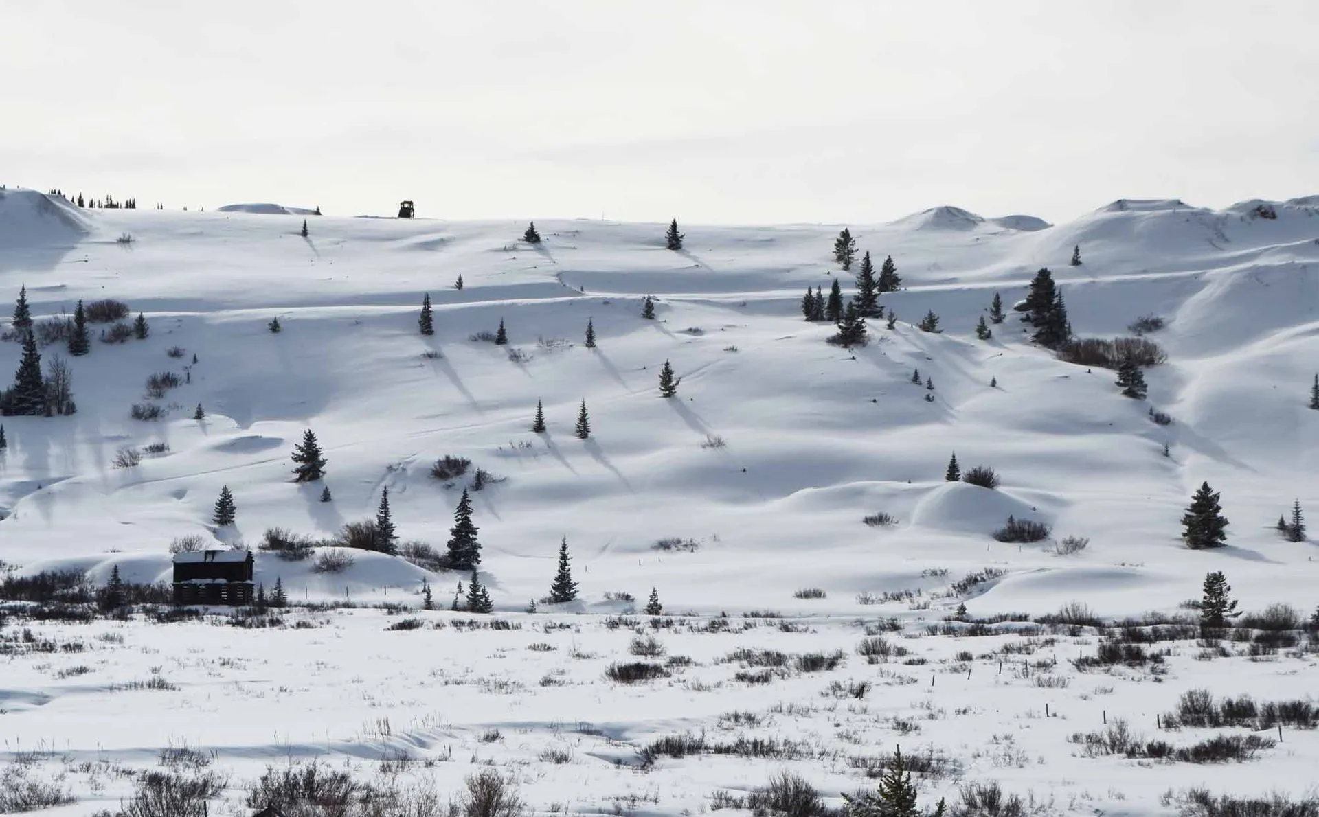
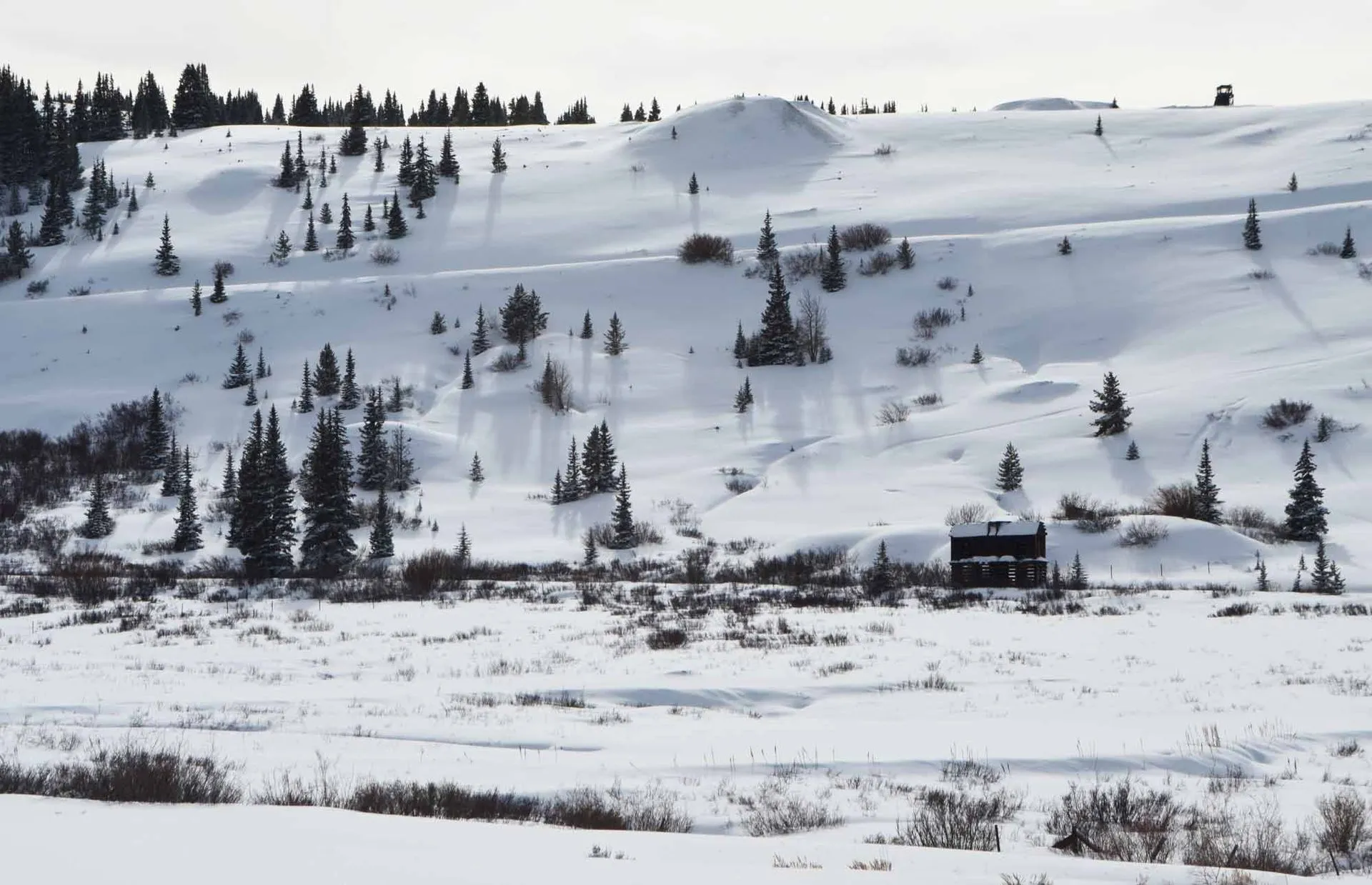
You’ll start near trees, wind through the East Side Mining District, and climb to a high open area with magnificent views. Along the way are a couple of long uphill climbs and steep downhills, for variety. You’ll pass the remains of cribbing, mining shacks, and other structures from the 1880s silver rush.
As you emerge from the trees, head east (left) on County Road 38. Follow it between tall piles of mining tailings, then off to the right at a four-way junction. A long sloping horseshoe will bring you to the top of Breece Hill, where you’ll head west (right) on County Road 1.
As you head down the hill and back into the trees, make a hard right on County Road 38A as it comes uphill at a sharp angle. At the bottom of the hill, turn east (right) for a short jog on County Road 38, then head north (left) on County Road 3B to complete the loop. At the next intersection, keep straight onto County Road 3 for the short distance back to the parking area.
Check our Colorado Backcountry Winter Safety Resources, especially if you are exploring off-trail in the East Side Mining District.
Want to explore this area in summer? Try the Route of the Silver Kings driving tour.