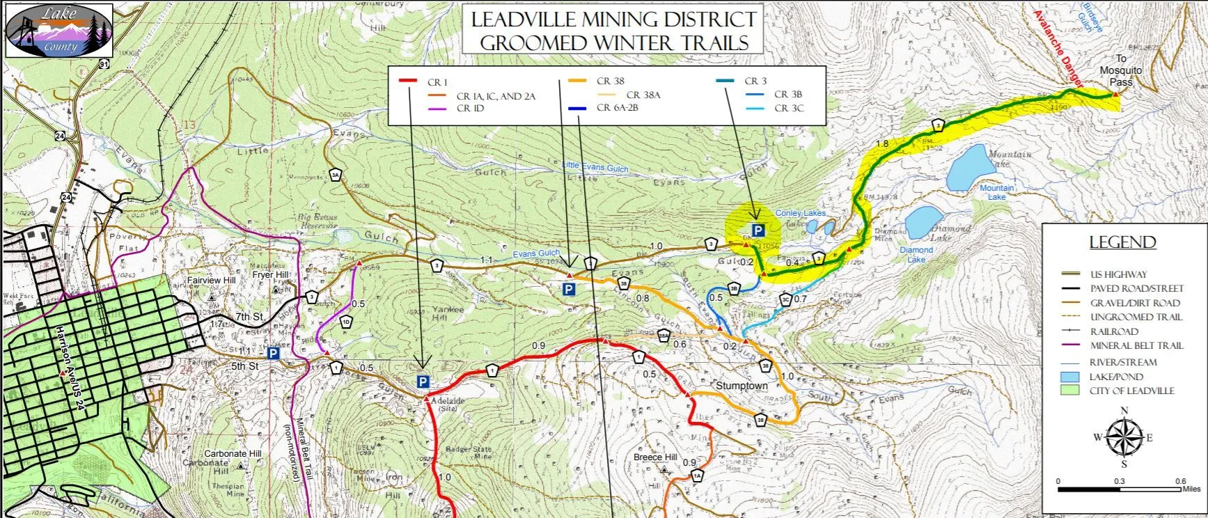
This multi-use trail is great for all winter recreation. Trails are groomed by the High Riders Snowmobile Club, check their Facebook page for grooming updates or the Colorado Snowmobile Association website.
The nearby Silver Spoon Shaft is 600’ deep and brought up gold-rich ore from the Winnie-Luema vein in the early 1900s. This celebrated streak of gold runs north-south for 4,000’ and remains the longest, most productive, and most thoroughly explored vein in the district. The elevation gain is steady but not too steep, and the scenery is worth every step—views as good as you’d see from a summit, with only a fraction of the work.
From the parking area, head up County Road 3, and at the first intersection hang a left to follow it east up a slight grade. The Famous Mine was to your left about a third of a mile east of the road junction. Early production was from lead-silver-zinc blanket deposits. It was last operated in the 1930s when it produced small amounts of gold.
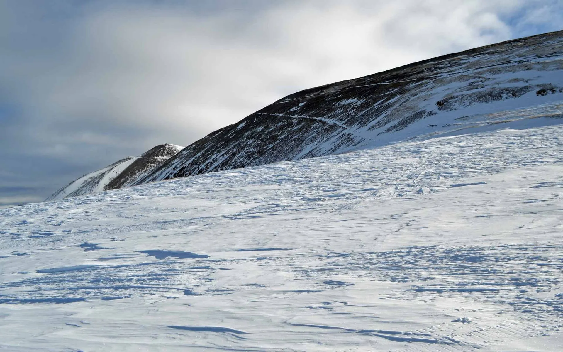
Soon you’ll arrive at a Y intersection and level place to catch your breath. Ahead are the peaks of Mosquito Range and the now-closed Diamond Mine, where a steel head-frame towers over a shaft sunk in the 1980s to bring up gold from 1,000’ below.
A small, metal-clad building covers the No. 2 shaft of the Resurrection Mine, located about 750 feet east-southeast of the sign at the junction of County Road 3 and County Road 3C. This shaft produced ore during the carbonate boom of the early 1880s.
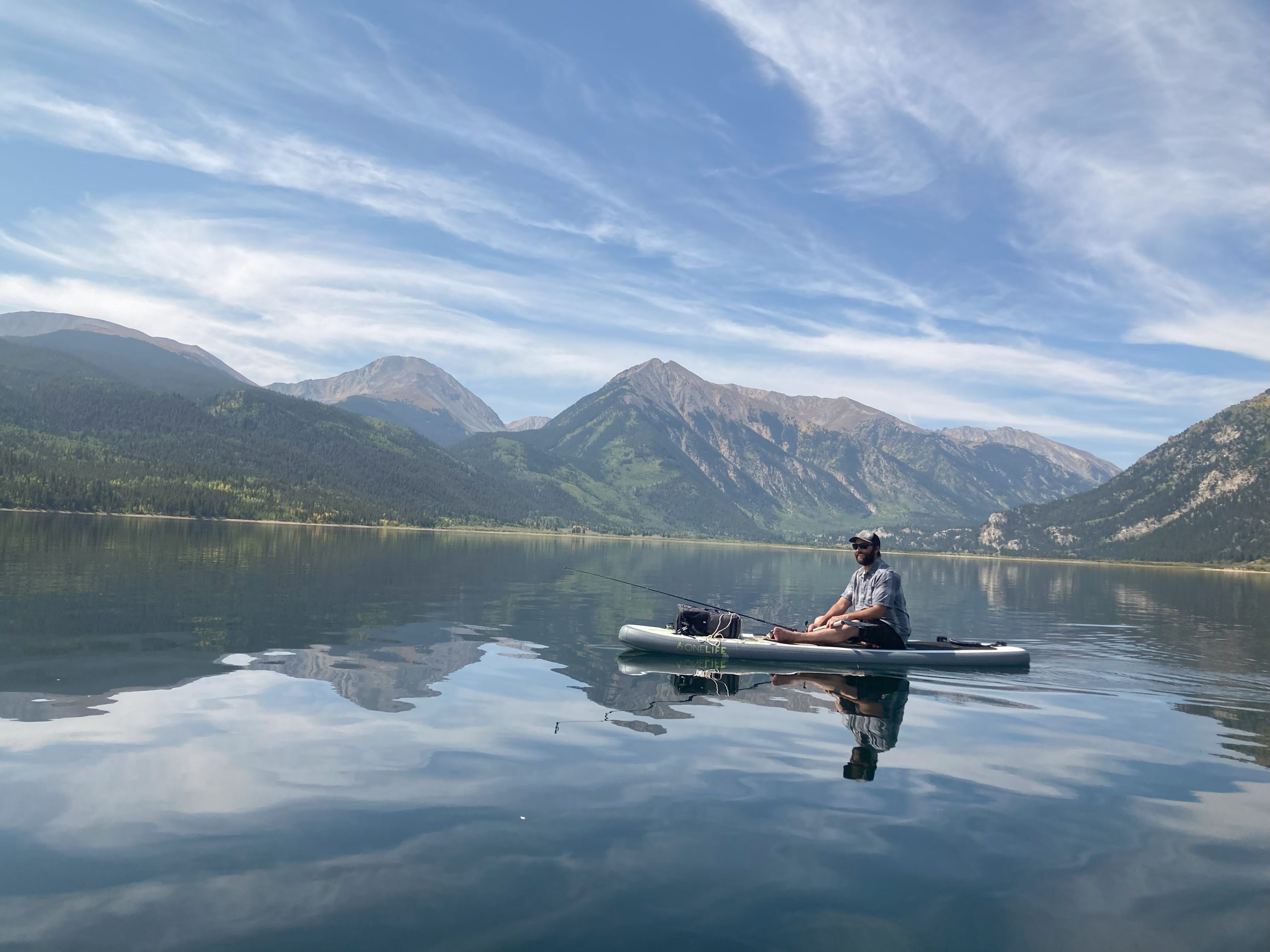
In this area, far below your feet lies the Yak Tunnel, an underground superhighway for ore that shot 3.5 miles from the Diamond Mine to California Gulch, just southeast of Leadville up Toledo Street. Started in 1895 and finished in October 1908, it connected and drained the many mines it passed along the way. It is now permanently plugged. Drainage water that used to go into the Arkansas River is now treated in the Newmont water treatment plant—leaving the river as Gold Medal Trout Waters for your fishing pleasure.
Keep straight toward the Diamond Mine, then follow the groomed trail around to the left. Then you will begin the climb to the base of Mosquito Pass, a notoriously tough 4WD road nicknamed, in summer. Grooming ends just before the switchbacks climb the hill, at a high, flat spot. This is the winter turnaround spot.
Give this gorgeous trail a whirl, and your eyes will sparkle…wait for it…like diamonds.
Check our Colorado Backcountry Winter Safety Resources, especially if you are exploring off-trail in the East Side Mining District.
Want to explore this area in summer? Try the Route of the Silver Kings driving tour.