From Harrison Avenue take west 6th Street turning right on to McWethy Drive/County Road 4. Follow County Road 4 to Turquoise Lake Recreation Area.
Parking
Park in dirt pullout on east side of Sugar Loafin’ Dam. Trailhead access across road from parking.
*Alternative trail access from May Queen Campground/Butcher Boy Day Use Area – take County Road 4 across Sugar Loafin’ Dam and follow it around past Hagerman Pass Entrance (road changes to County Road 9) continue on to May Queen Campground Entrance and follow road until the end. Parking area with restrooms, picnic tables and trash. Not Accessible in Winter and Day Use Fees Apply*
Why It’s a Gem
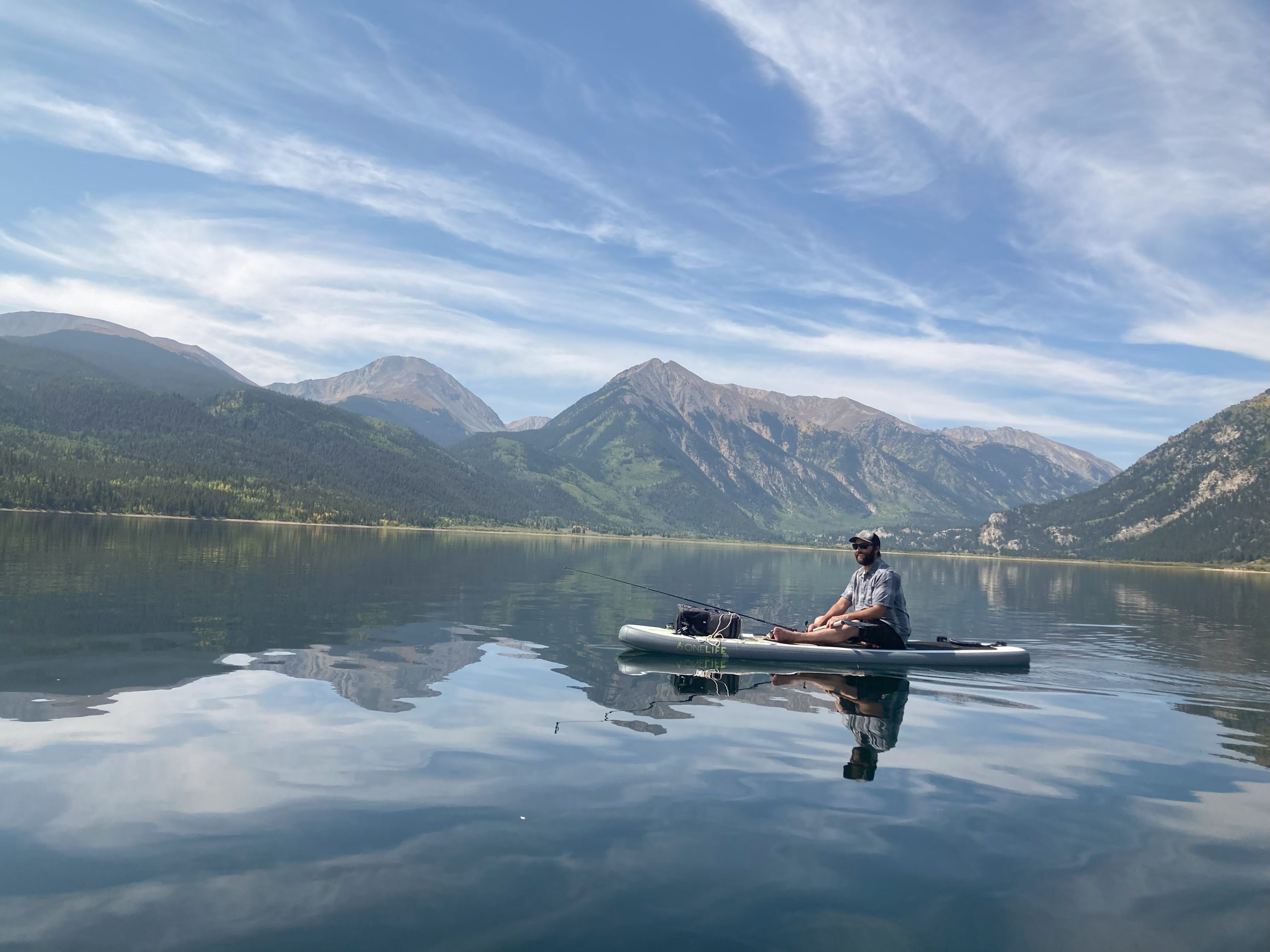
This is a popular non-motorized multiple use rolling single track trail that follows alongside the Turquoise Lake Shoreline. Easily accessible from the USFS Campgrounds around the lake and the Matchless Boat Ramp. This out and back trail has minimal elevation gain but can be rocky in places. The Turquoise Lake trail is part of the Leadville 100 Race The May Queen side of the trail crosses a stream and old mines are visible from the trail. The Sugar Loafin’ Dam side of the trail provides plenty of access to lake shore great for fishing and views of the surrounding mountains.
There are a variety of trails that cut off from the Turquoise Lake Trails leading to campgrounds, day use areas and the Turquoise Lake Trail System built by the Cloud City Wheelers
*Turquoise Lake Road closes at Sugar Loafin’ Dam in the winter but is groomed and accessible by snowshoe, cross country skis and snowmobile. The Turquoise Lake Trail is accessible by snowshoe but not heavily used in the winter and can be hard to follow.