From Harrison Avenue take west 6th Street turning right on to McWethy Drive/County Road 4. Follow County Road 4 to Turquoise Lake Recreation Area. Continue across Sugar Loafin’ Dam and drive approximately 3.4 miles where you will see County Road 4/Hagerman Pass dirt road entrance to the left. Continue up Hagerman Pass for 3.7 miles until you see the Native Lake/Windsor Lake parking area. Be aware that the road becomes 4 wheel drive accessible only shortly after the trailhead.
Cross the road from the parking and go across a metal crosswalk above the spillway to start the trail. Along the trail watching for signage as the Colorado Midland Trail is also accessible in this area. At the intersection follow signage leading to the left, crossing the creek toward Windsor Lake. There is a smaller pond toward the top of the trail as the trail levels out, continue past it to see Windsor Lake.
Parking
A large dirt parking lot is an easy pull off from Hagerman Pass road and services both the Windsor Lake and Native Lakes Trailheads.
Why It’s a Gem
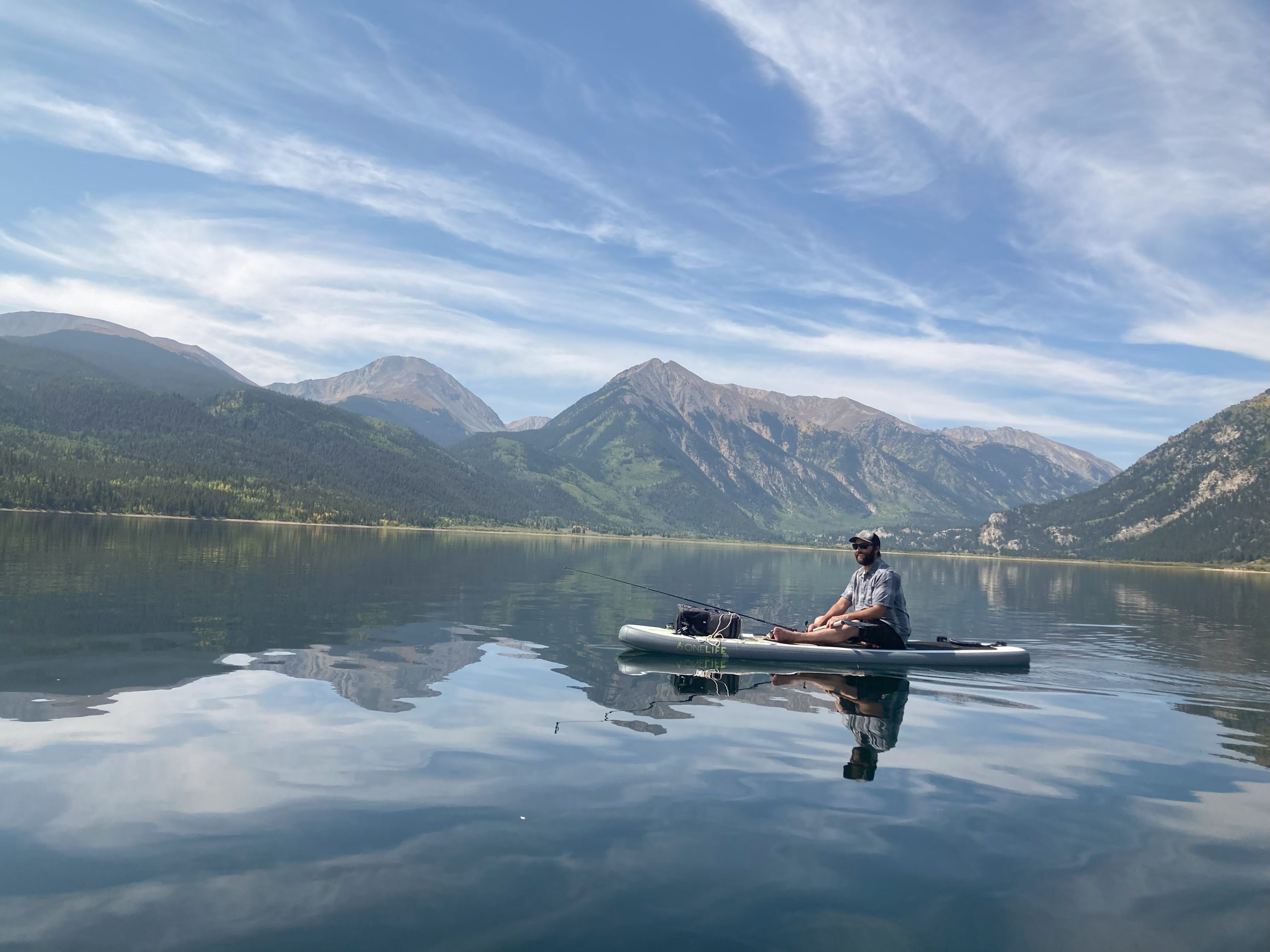
This 1 mile non-motorized trail is short but steep with almost 1,000 feet of elevation gain, ending at a beautiful alpine lake in the Mount Massive Wilderness. The trail is below tree line providing great shading and passes by old mine entrance. The lake sits in a gorgeous granite basin surrounded by the high peaks of the Continental Divide.
In Wilderness Areas biking is not permitted and fishing is catch and release only. Bug spray is recommended.