**6/3/25 TEMPORARY CLOSURE OF TRAIL DUE TO OVERFLOW OF CREEK AND TRAIL MAINTENANCE WORK**
From Harrison Avenue take west 6th Street turning right on to McWethy Drive/County Road 4. Follow County Road 4 to Turquoise Lake Recreation Area. Proceed across Sugar Loafin’ Dam and follow County Road 4 past the Hagerman Pass Entrance, road changes to County Road 9. Just past the May Queen Campground entrance the Timberline Trailhead parking is on the left approximately 5.3 miles from the dam.
Trail access is left/south out of the parking lot, cross over the bridge. The Colorado / Continental Divide Trail passes crosses, be watchful of signs to ensure you proceed on the correct trail.
Parking
Dirt parking lot off of Turquoise Lake Road (County Road 9). The small lot can fill up quickly, early arrival is recommended.
*Parking lot is not accessible in the winter as the road around Turquoise Lake is closed to cars at the dam in the winter, road is groomed for snowmobiling, snowshoeing and cross-country skiing.
Why It’s a Gem
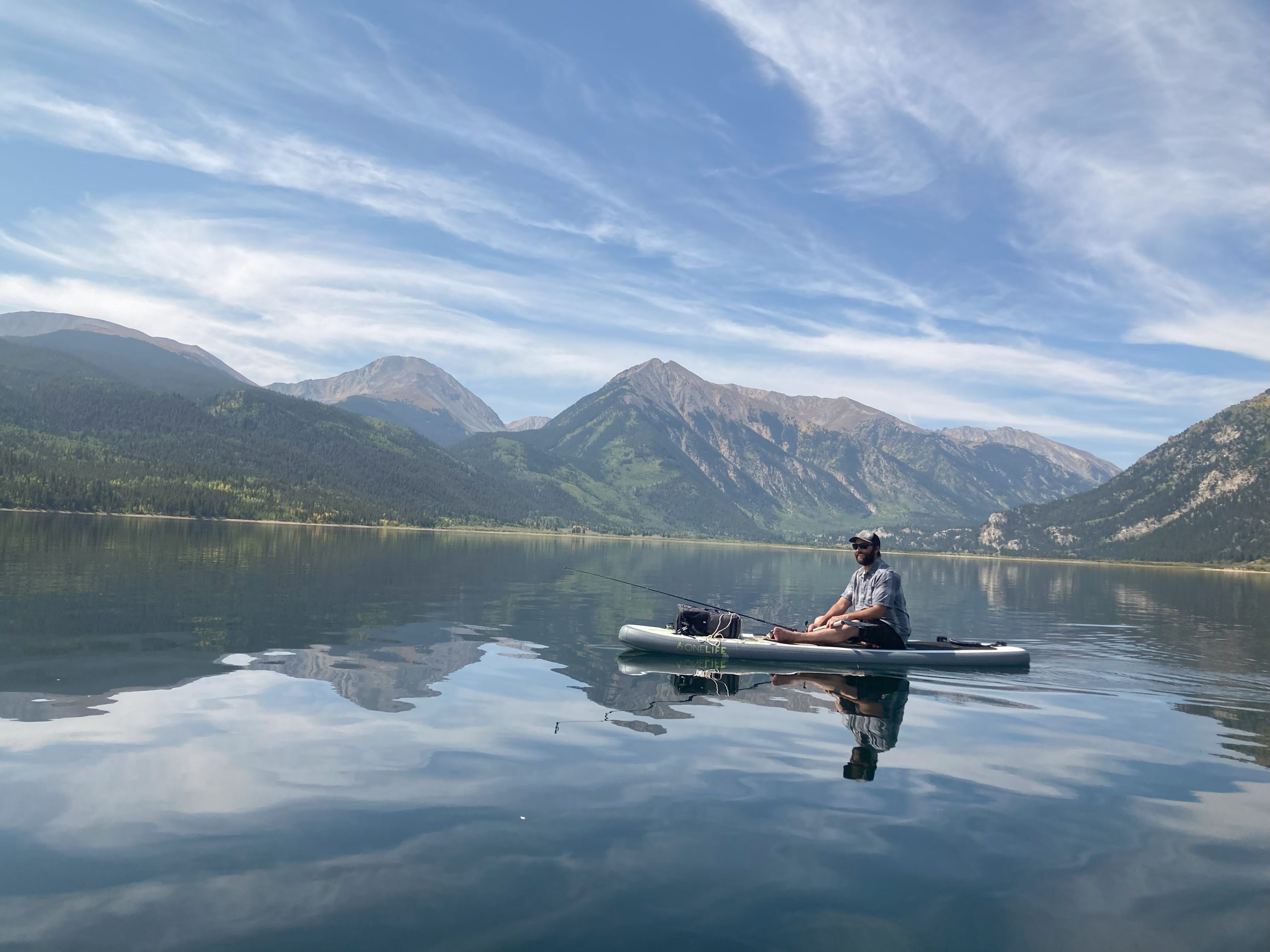
Timberline Lake Trail non-motorized trail goes through pine forests and meadows to a mirror-top alpine lake in the Holy Cross Wilderness. A great trail to view wildflowers and cascading mountain streams. The trail has a combination and steeper, rocky sections and calm uphill sections. Trail includes two well marked water-crossings (~1.5 and 2 miles into trail) so be prepared to get you feet and legs wet, water depths vary throughout the season being higher early in summer during snowmelt. To avoid damaging vegetation please use water crossing on trails.
In Wilderness Areas biking is not permitted and fishing is catch and release only. Bug spray is recommended.